| |
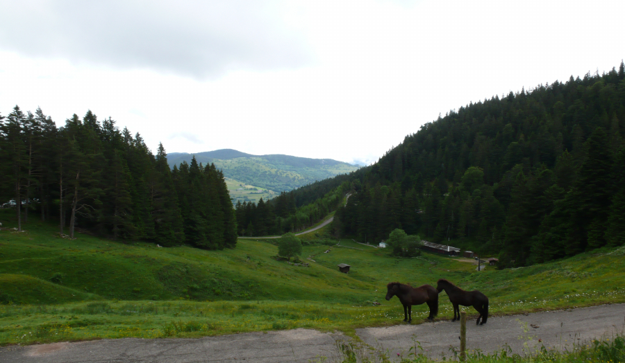 |
| Our
starting point. A small restaurant is to the right; our car is
parked down to the |
| left
in a large parking lot. We will begin our hike heading left along
the paved road. |
| |
 |
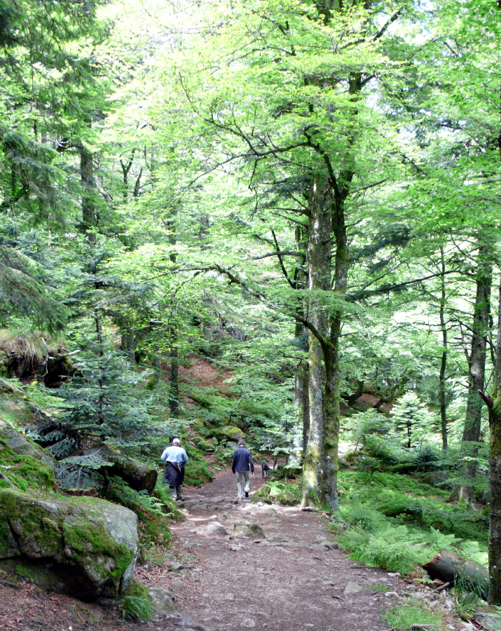
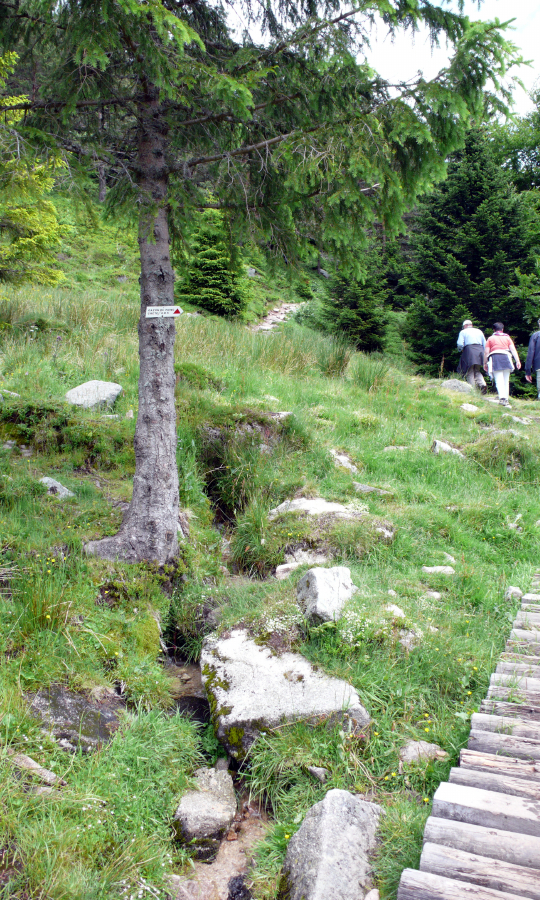
| Leaving
the road, the trail leads, naturally, uphill. (Beate in the lead) |
| |
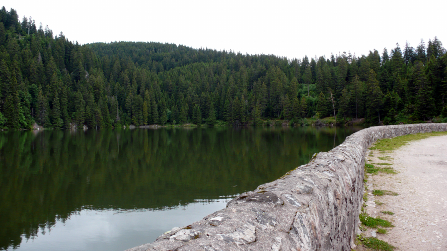 |
| In
less than twenty minutes, we reach Lake Noir. We'll pass to the
right and enter the forest beyond. |
| |
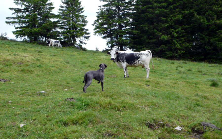 |
| Mogli,
challenging a bemused cow. |
| |
 |
| Ever
onward, ever upward. (Ron and Beate) |
| |
 |
| A
small slice of Lac Noir, whence we came, is barely visible in the middle
distance. |
| |
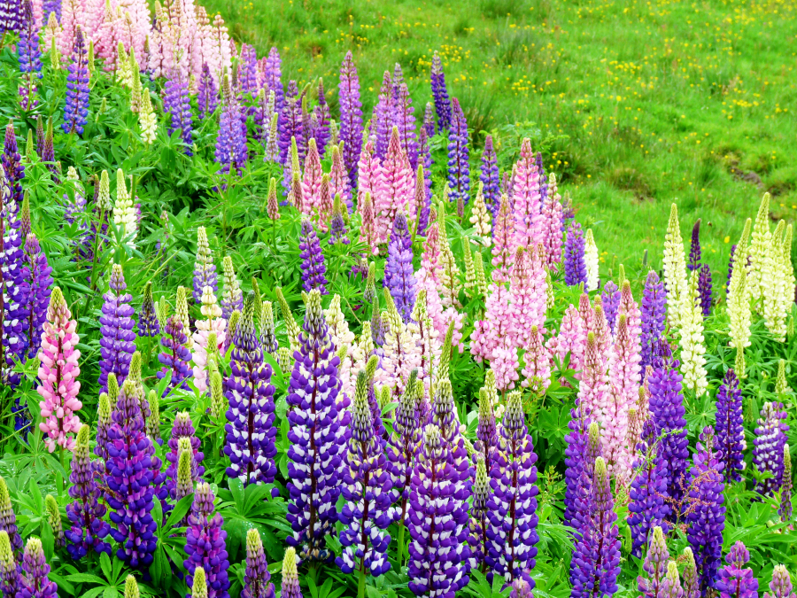 |
| Irmi
cannot resist flowers, and these are, indeed, beautiful; but often in
Nature the most colorful plants |
| and
creatures should be avoided. I thought these were
"Delphinium's," the roots and leaves of which |
| are
poisonous; but a friend who fancies himself a horticulturist later
assured me that they are another |
| species
altogether and very much benign. Still, I wonder. |
| |
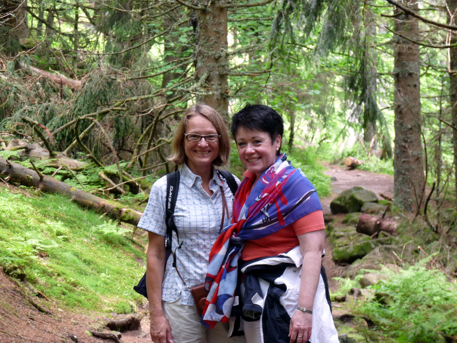 |
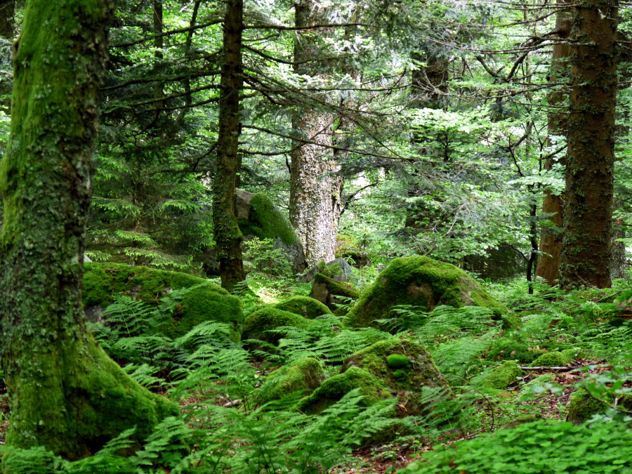
| Deep
in the woods: Irmi and Beate. |
| |
 |
| Norbert
and Ron following Mogli . . . uphill. |
| |
 |
| Passing
this spot, Norbert and Ron expected a (French) leprechaun to pop out at
any moment! |
| |
 |
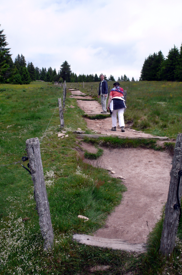
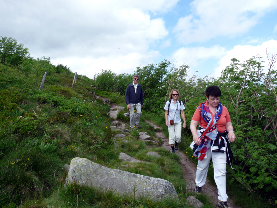
| Stepping
off the trail to allow another group to pass in the opposite direction. |
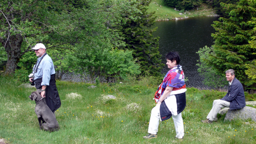
| L
to R: Norbert with Mogli, Beate, and Ron. (Lac Blanc is in
the background.) |
| |
 |
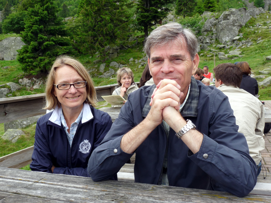
| Lunchtime
on the terrace of a small restaurant above Lac Blanc. |
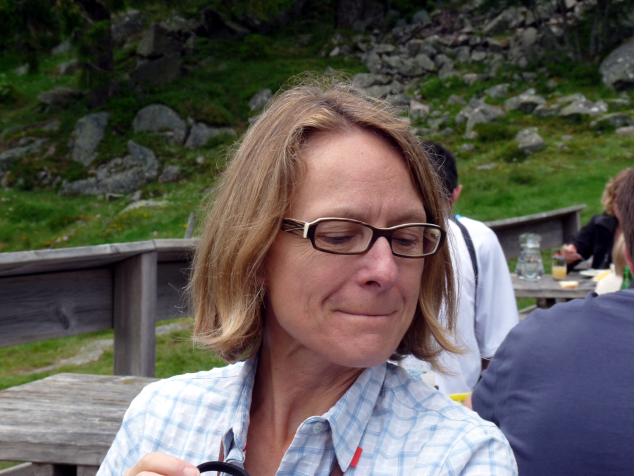
| Irmi,
gazing over at Ron's plate, wonders if there is anything worth
"sampling." |
| |
 |
| Lunch
is over, the plates are cleared, and we are relaxing, |
| allowing
our stomachs settle before hitting the trail again. |
| |
 |
| And
the trail, as always, leads . . . uphill. |
| |
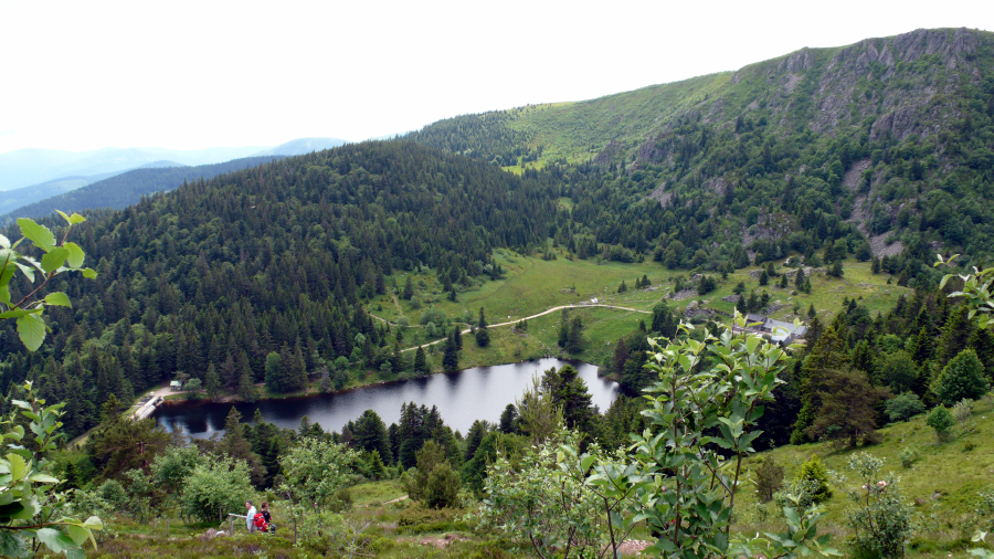 |
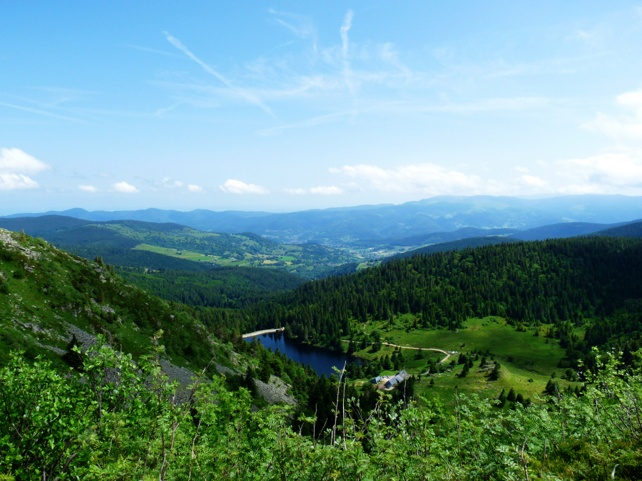
| We
exited the woods at the far left end of the lake, walked along the road
around |
| the
lake to the end and
took a break at the small restaurant (roof is barely
visible). |
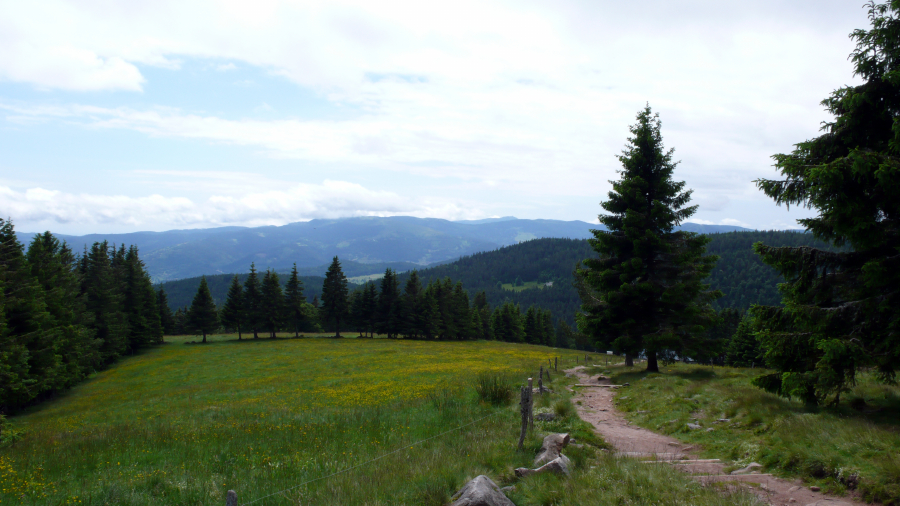
|
After lunch, we climbed a winding trail to this vantage point and paused
to look back. |
| We
will hike around to the right and eventually traverse the crest in the
background. |
| |
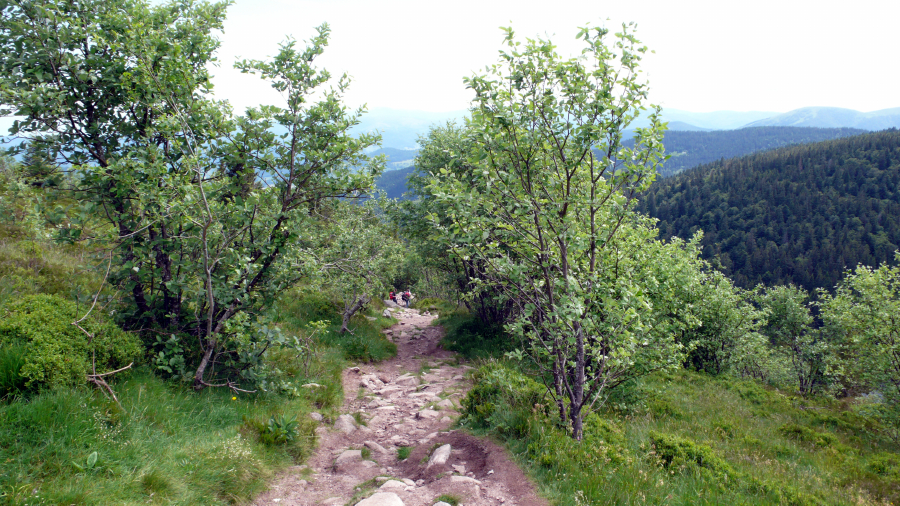 |
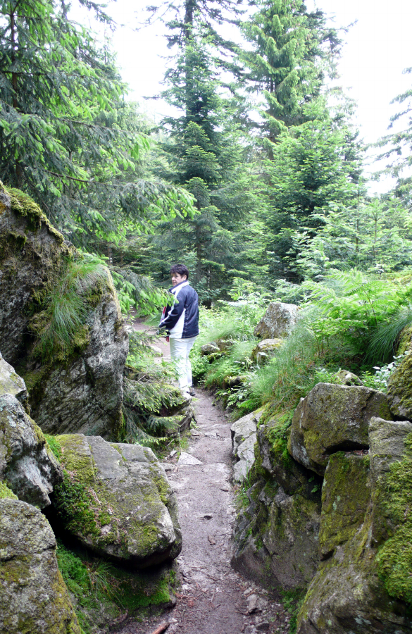
| The
trail was often rocky and uneven. Good hiking shoes were an
absolute necessity! |
| |
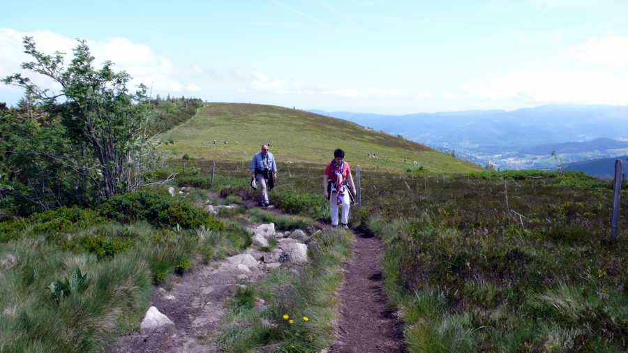 |
| Only
a few more steps to the crest. Beate and Norbert can see it up
ahead! |
| |
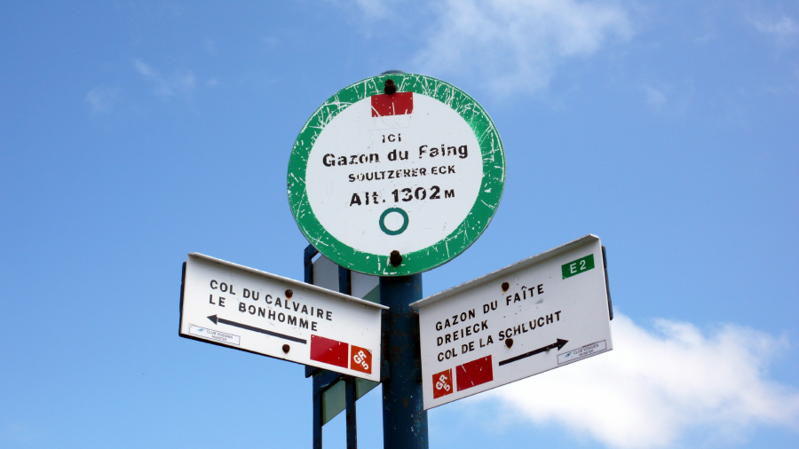 |
| The
proof is in the sign: 1,302 meters (4,231 feet). |
| (To
my American friends, note the absence of bullet holes.) |
| |
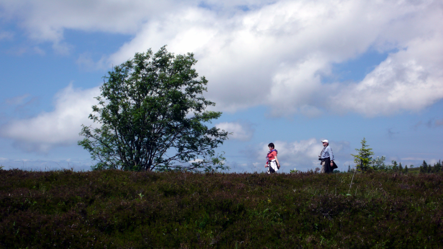 |
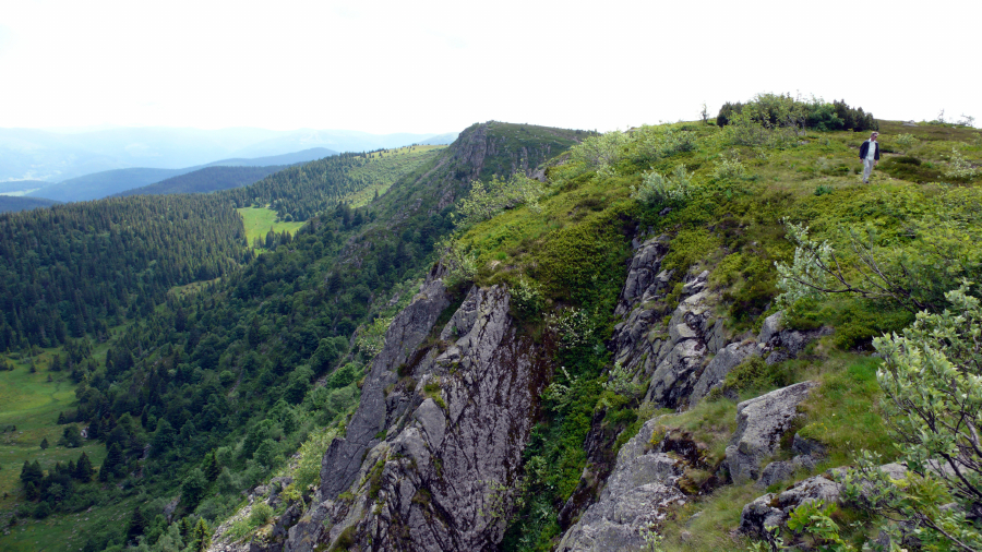
| Beate
and Norbert stride atop the (Vosges Haut-Rhin) crest near
Taubenklang-felsen (1,296 meters). |
| |
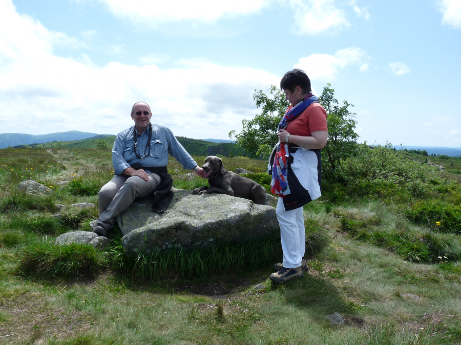 |
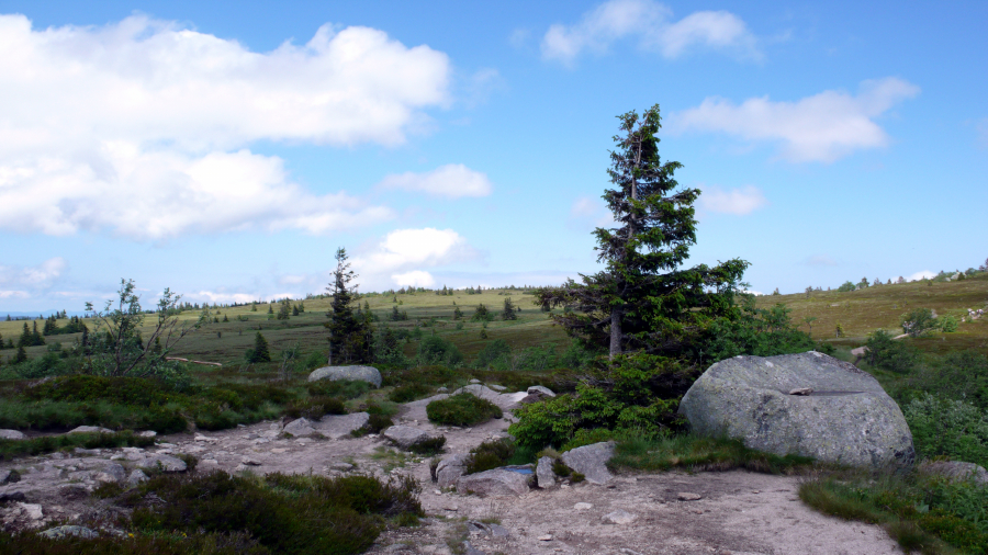
| Norbert,
Mogli, and Beate taking a short break on a plateau at the top. |
| |
 |
| Looking
back again whence we came: Lac Blanc, the road, and the
restaurant. We |
| climbed
up and around the hill to the left; then hiked in a long wide arc to our
present position. |
| |
 |
| Turning
180 degrees from the previous photo, we survey a wide plateau.
Now, we |
| will
turn 90 degrees left
and hike along the crest back toward where the car is parked. |
| |
 |
| Ron,
ahead of the group, wandering near the edge, contemplating the drop. |
| |
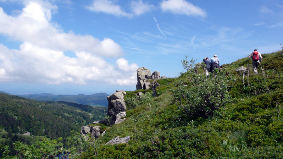 |
| Ron
and Norbert, followed by an unknown man from another group, approaching
a small summit. |
| Just
beyond the rise, we discovered a modest bronze plaque embedded in stone
memorializing |
| a
young Scandinavian man who made his final (and fatal) para-glide jump
from that point in 2006. |
| |
 |
| Leaving
the crest (and plateau) behind, Beate, Irmi, and Ron head gradually
downhill. |
| |
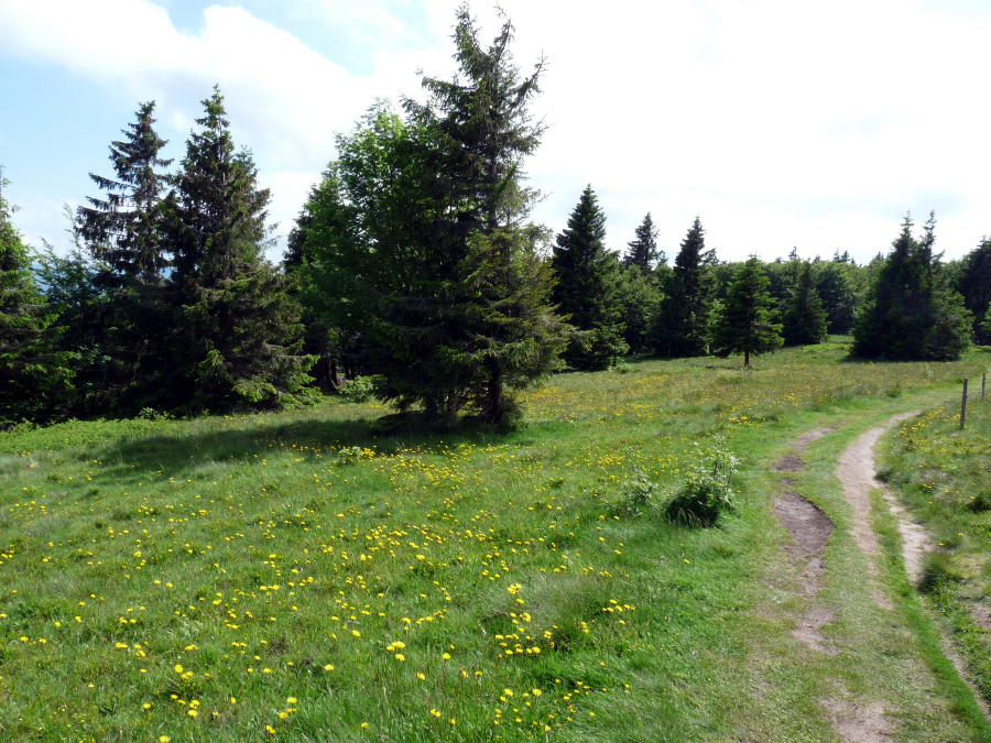 |
| The
path widens into a rutted dirt road through a thicket of pine trees. |
| |
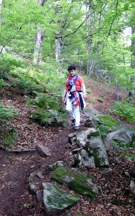 |
| Dipping
into deep forest again, Beate negotiates a narrow winding trail. |
| |
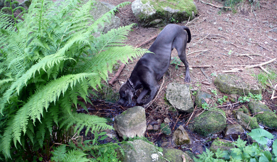 |
| Mogli,
refilling his water tank in a cool, clear mountain stream. He
deserved it. |
| The
car is parked just ahead, where we can all rest our weary feet (and
paws). |
| |
| The
End. Adieu und auf Wiedersehen. |
| |